New housing near the A14
Introduction
The photograph on this page of New housing near the A14 by Andrew Hill as part of the Geograph project.
The Geograph project started in 2005 with the aim of publishing, organising and preserving representative images for every square kilometre of Great Britain, Ireland and the Isle of Man.

There are currently over 7.5m images from over 14,400 individuals and you can help contribute to the project by visiting https://www.geograph.org.uk
New housing near the A14
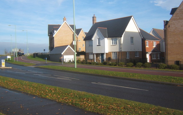
Image: © Andrew Hill Taken: 14 Nov 2008
An extensive area of land between the A14 and Stowmarket town is being developed into a large housing estate.
Images are licensed for reuse under creativecommons.org/licenses/by-sa/2.0
Image Location
Latitude
52.194228
Longitude
1.009822