The Sterling Centre, Leisure Facility
Introduction
The photograph on this page of The Sterling Centre, Leisure Facility by David Anstiss as part of the Geograph project.
The Geograph project started in 2005 with the aim of publishing, organising and preserving representative images for every square kilometre of Great Britain, Ireland and the Isle of Man.

There are currently over 7.5m images from over 14,400 individuals and you can help contribute to the project by visiting https://www.geograph.org.uk
The Sterling Centre, Leisure Facility
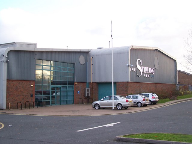
Image: © David Anstiss Taken: 12 Nov 2008
On Maidstone Road (B2097). A multi-purpose sports hall. Has 5-a-side, netball, tennis courts, which are floodlit. Also has a fitness suite, licensed bar and function rooms. Run by Medway Council. Has a special relationship with Royal Mail, whose distribution centre (on demolished Fort Bridgewood) is opposite the centre.
Images are licensed for reuse under creativecommons.org/licenses/by-sa/2.0
Image Location
Latitude
51.358664
Longitude
0.498598