Crofty village street
Introduction
The photograph on this page of Crofty village street by Jonathan Billinger as part of the Geograph project.
The Geograph project started in 2005 with the aim of publishing, organising and preserving representative images for every square kilometre of Great Britain, Ireland and the Isle of Man.

There are currently over 7.5m images from over 14,400 individuals and you can help contribute to the project by visiting https://www.geograph.org.uk
Crofty village street
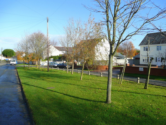
Image: © Jonathan Billinger Taken: 12 Nov 2008
This was once a small port for local coal mining on the south side of the Loughor estuary.
Images are licensed for reuse under creativecommons.org/licenses/by-sa/2.0
Image Location
Latitude
51.635747
Longitude
-4.128709