Worley, Nailsworth
Introduction
The photograph on this page of Worley, Nailsworth by Brian Robert Marshall as part of the Geograph project.
The Geograph project started in 2005 with the aim of publishing, organising and preserving representative images for every square kilometre of Great Britain, Ireland and the Isle of Man.

There are currently over 7.5m images from over 14,400 individuals and you can help contribute to the project by visiting https://www.geograph.org.uk
Worley, Nailsworth
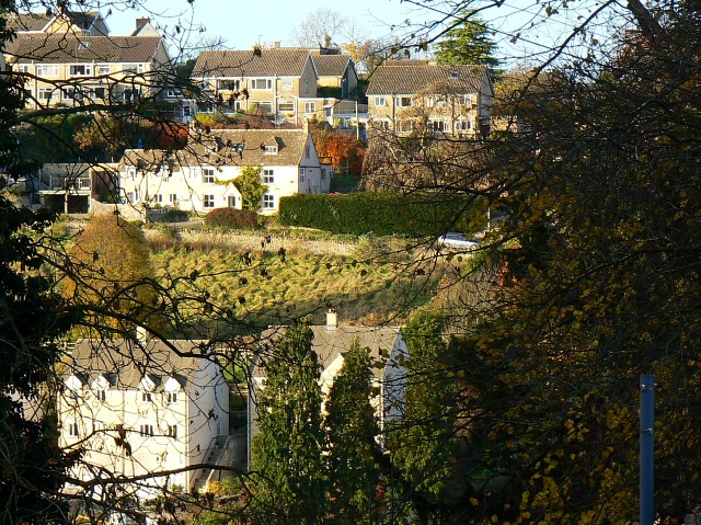
Image: © Brian Robert Marshall Taken: 11 Nov 2008
Nailsworth lies at the confluence of several valleys. This view is across the valley leading in from the west. The houses on the far side probably date from the 1960s or 70s.
Images are licensed for reuse under creativecommons.org/licenses/by-sa/2.0
Image Location
Latitude
51.692327
Longitude
-2.224338