Eton Grove
Introduction
The photograph on this page of Eton Grove by Alan Murray-Rust as part of the Geograph project.
The Geograph project started in 2005 with the aim of publishing, organising and preserving representative images for every square kilometre of Great Britain, Ireland and the Isle of Man.

There are currently over 7.5m images from over 14,400 individuals and you can help contribute to the project by visiting https://www.geograph.org.uk
Eton Grove
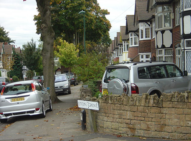
Image: © Alan Murray-Rust Taken: 19 Oct 2008
One of the roads carved out of Wollaton Park in the immediate pre-war period.
Images are licensed for reuse under creativecommons.org/licenses/by-sa/2.0
Image Location
Latitude
52.953778
Longitude
-1.199166