Wollaton Park wall
Introduction
The photograph on this page of Wollaton Park wall by Alan Murray-Rust as part of the Geograph project.
The Geograph project started in 2005 with the aim of publishing, organising and preserving representative images for every square kilometre of Great Britain, Ireland and the Isle of Man.

There are currently over 7.5m images from over 14,400 individuals and you can help contribute to the project by visiting https://www.geograph.org.uk
Wollaton Park wall
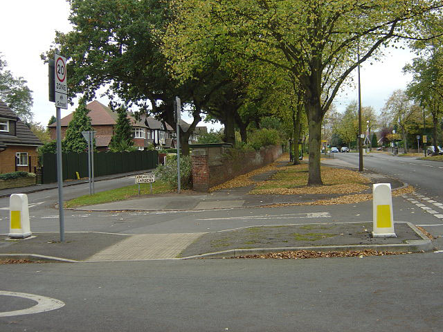
Image: © Alan Murray-Rust Taken: 19 Oct 2008
The housing to the left was developed inside the old boundary of Wollaton Park, as evidenced by the wall in centre shot. The address for the houses is Wollaton Road, which is the main road visible.
Images are licensed for reuse under creativecommons.org/licenses/by-sa/2.0
Image Location
Latitude
52.954905
Longitude
-1.206439