Ancaster Gardens, Wollaton
Introduction
The photograph on this page of Ancaster Gardens, Wollaton by Alan Murray-Rust as part of the Geograph project.
The Geograph project started in 2005 with the aim of publishing, organising and preserving representative images for every square kilometre of Great Britain, Ireland and the Isle of Man.

There are currently over 7.5m images from over 14,400 individuals and you can help contribute to the project by visiting https://www.geograph.org.uk
Ancaster Gardens, Wollaton
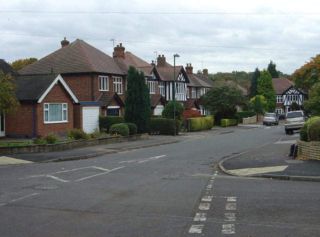
Image: © Alan Murray-Rust Taken: 19 Oct 2008
Part of the immediate pre-war development in the Wollaton area, this and neighbouring roads are within the old precincts of Wollaton Park. The land effectively became available after the Hall and Park were gifted to the City of Nottingham.
Images are licensed for reuse under creativecommons.org/licenses/by-sa/2.0
Image Location
Latitude
52.954451
Longitude
-1.205703