Lock weir
Introduction
The photograph on this page of Lock weir by Alan Murray-Rust as part of the Geograph project.
The Geograph project started in 2005 with the aim of publishing, organising and preserving representative images for every square kilometre of Great Britain, Ireland and the Isle of Man.

There are currently over 7.5m images from over 14,400 individuals and you can help contribute to the project by visiting https://www.geograph.org.uk
Lock weir
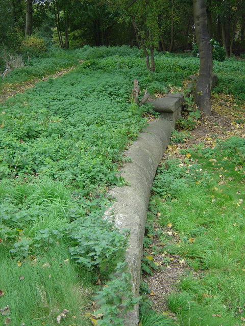
Image: © Alan Murray-Rust Taken: 19 Oct 2008
The curved stonework is the cill of the overflow past one of the locks on the old Nottingham Canal. The lock itself was just beyond it.
Images are licensed for reuse under creativecommons.org/licenses/by-sa/2.0
Image Location
Latitude
52.959094
Longitude
-1.21455