House, Burnley Road A646, Mytholmroyd
Introduction
The photograph on this page of House, Burnley Road A646, Mytholmroyd by Humphrey Bolton as part of the Geograph project.
The Geograph project started in 2005 with the aim of publishing, organising and preserving representative images for every square kilometre of Great Britain, Ireland and the Isle of Man.

There are currently over 7.5m images from over 14,400 individuals and you can help contribute to the project by visiting https://www.geograph.org.uk
House, Burnley Road A646, Mytholmroyd
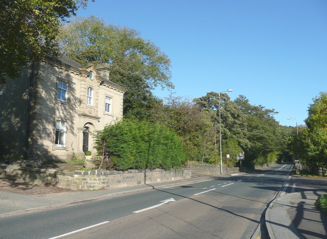
Image: © Humphrey Bolton Taken: 16 Oct 2008
Too grand for a lodge, yet this house is at the end of a driveway to Ewood Hall and was called Ewood gate on the 1907 1:2500 map.
Images are licensed for reuse under creativecommons.org/licenses/by-sa/2.0
Image Location
Latitude
53.730392
Longitude
-1.971164