Thompson's Wood
Introduction
The photograph on this page of Thompson's Wood by Alan Murray-Rust as part of the Geograph project.
The Geograph project started in 2005 with the aim of publishing, organising and preserving representative images for every square kilometre of Great Britain, Ireland and the Isle of Man.

There are currently over 7.5m images from over 14,400 individuals and you can help contribute to the project by visiting https://www.geograph.org.uk
Thompson's Wood
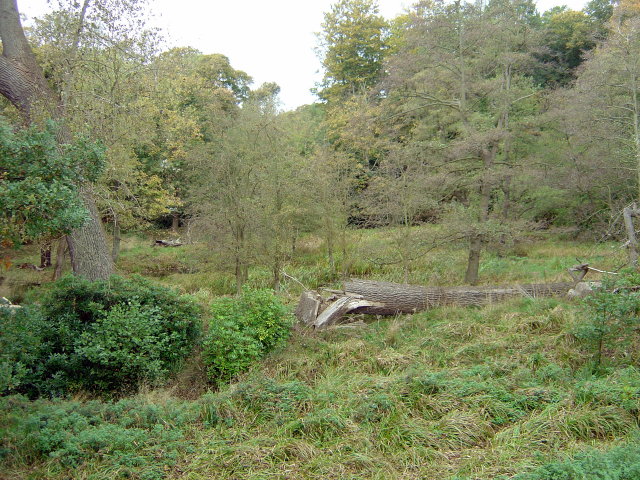
Image: © Alan Murray-Rust Taken: 19 Oct 2008
The pool shown on the OS map has become swampland over the years. This part of Wollaton Park is not open to the public to allow the habitat to develop naturally.
Images are licensed for reuse under creativecommons.org/licenses/by-sa/2.0
Image Location
Latitude
52.942398
Longitude
-1.218275