Nrs 40-49 Ruspidge Road, Ruspidge, Forest of Dean
Introduction
The photograph on this page of Nrs 40-49 Ruspidge Road, Ruspidge, Forest of Dean by Eric Soons as part of the Geograph project.
The Geograph project started in 2005 with the aim of publishing, organising and preserving representative images for every square kilometre of Great Britain, Ireland and the Isle of Man.

There are currently over 7.5m images from over 14,400 individuals and you can help contribute to the project by visiting https://www.geograph.org.uk
Nrs 40-49 Ruspidge Road, Ruspidge, Forest of Dean
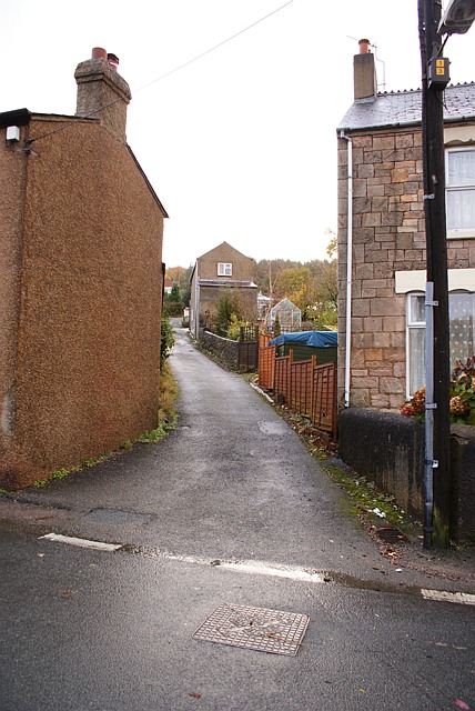
Image: © Eric Soons Taken: 9 Nov 2008
As often happened in the Forest, ribbon development in the chaotic past along spur lanes created anomalies such as this. A little cluster of dwellings on a one-time track but which now has a metalled, if unmarked, surface has at some time been incorporated into the house numbering scheme for its parent road. Nearby there is an instance of two houses both numbered 18A in the same road - who'd be a postman!
Images are licensed for reuse under creativecommons.org/licenses/by-sa/2.0
Image Location
Latitude
51.8078
Longitude
-2.505131