Ruspdge Road and Hewlett Way, Ruspidge, Forest of Dean
Introduction
The photograph on this page of Ruspdge Road and Hewlett Way, Ruspidge, Forest of Dean by Eric Soons as part of the Geograph project.
The Geograph project started in 2005 with the aim of publishing, organising and preserving representative images for every square kilometre of Great Britain, Ireland and the Isle of Man.

There are currently over 7.5m images from over 14,400 individuals and you can help contribute to the project by visiting https://www.geograph.org.uk
Ruspdge Road and Hewlett Way, Ruspidge, Forest of Dean
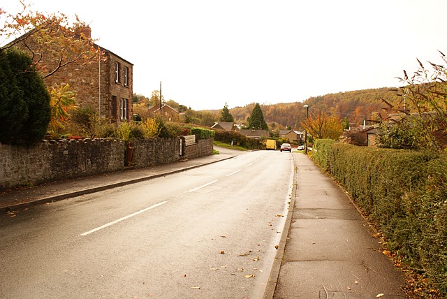
Image: © Eric Soons Taken: 9 Nov 2008
Looking down the hill to the South along Ruspidge Road one can see Hewlett Way on the left of the road. Hewlett Way more or less follows the contour-line along the downward sloping Eastern wall of the Ruspidge and Soudley valley.
Images are licensed for reuse under creativecommons.org/licenses/by-sa/2.0
Image Location
Latitude
51.803924
Longitude
-2.507408