Thorpe Hall Avenue, Thorpe Bay
Introduction
The photograph on this page of Thorpe Hall Avenue, Thorpe Bay by David Kemp as part of the Geograph project.
The Geograph project started in 2005 with the aim of publishing, organising and preserving representative images for every square kilometre of Great Britain, Ireland and the Isle of Man.

There are currently over 7.5m images from over 14,400 individuals and you can help contribute to the project by visiting https://www.geograph.org.uk
Thorpe Hall Avenue, Thorpe Bay
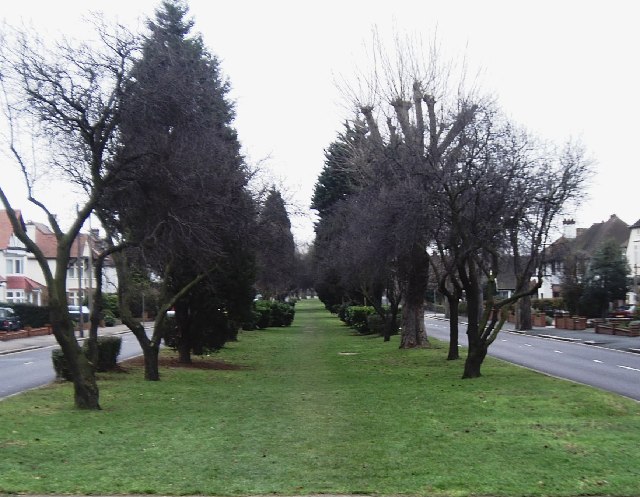
Image: © David Kemp Taken: 10 Jan 2006
The grassed over area between the trees is the course of a former Southend Corporation tram route (closed in 1938) that ran down the central reservation of Thorpe Hall Avenue towards Thorpe Bay Corner on the esplanade. Taken looking south.
Images are licensed for reuse under creativecommons.org/licenses/by-sa/2.0
Image Location
Latitude
51.544895
Longitude
0.76034