Big bend on hill - A48
Introduction
The photograph on this page of Big bend on hill - A48 by Ruth Sharville as part of the Geograph project.
The Geograph project started in 2005 with the aim of publishing, organising and preserving representative images for every square kilometre of Great Britain, Ireland and the Isle of Man.

There are currently over 7.5m images from over 14,400 individuals and you can help contribute to the project by visiting https://www.geograph.org.uk
Big bend on hill - A48
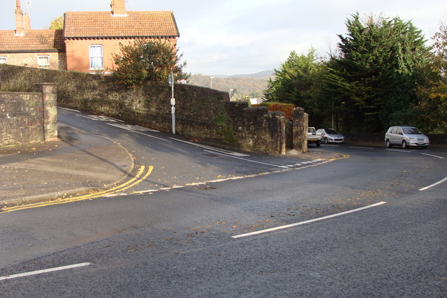
Image: © Ruth Sharville Taken: 8 Nov 2008
This bend and hill are a particularly hazardous spot, being in very close proximity to the junction with Bulwark Road. The hill is a lot steeper than the picture implies. Check out the 1:25,000 map for the exact relationship between the bend and the junction - the 1:50,000 map suggests they are at the same spot!
Images are licensed for reuse under creativecommons.org/licenses/by-sa/2.0
Image Location
Latitude
51.637982
Longitude
-2.678375