Every Street, Nelson
Introduction
The photograph on this page of Every Street, Nelson by Dr Neil Clifton as part of the Geograph project.
The Geograph project started in 2005 with the aim of publishing, organising and preserving representative images for every square kilometre of Great Britain, Ireland and the Isle of Man.

There are currently over 7.5m images from over 14,400 individuals and you can help contribute to the project by visiting https://www.geograph.org.uk
Every Street, Nelson
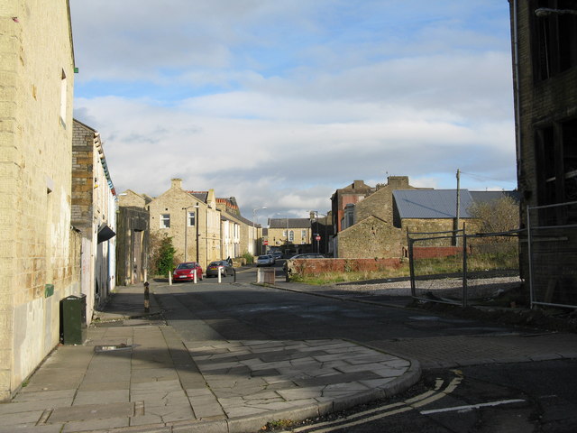
Image: © Dr Neil Clifton Taken: 7 Nov 2008
Every Street is a very long street which runs parallel to the main Manchester Road (A56). Years ago it was used as a 'rat run' but that is no longer possible as through access has been blocked. This photograph is taken looking northeast from the junction with Macleod Street. The building in shadow on the right is the ruined presbytery.
Images are licensed for reuse under creativecommons.org/licenses/by-sa/2.0
Image Location
Latitude
53.835352
Longitude
-2.220295