Henfield Road, Park Wood
Introduction
The photograph on this page of Henfield Road, Park Wood by Simon Carey as part of the Geograph project.
The Geograph project started in 2005 with the aim of publishing, organising and preserving representative images for every square kilometre of Great Britain, Ireland and the Isle of Man.

There are currently over 7.5m images from over 14,400 individuals and you can help contribute to the project by visiting https://www.geograph.org.uk
Henfield Road, Park Wood
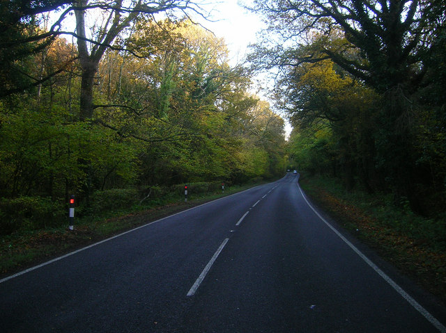
Image: © Simon Carey Taken: 7 Nov 2008
The A281 runs through the wood. This was one of the original London-Brighton roads running via Devil's Dyke through Henfield and Horsham then onto the capital.
Images are licensed for reuse under creativecommons.org/licenses/by-sa/2.0
Image Location
Latitude
50.906578
Longitude
-0.207888