Bridge Avenue, Upminster
Introduction
The photograph on this page of Bridge Avenue, Upminster by David Kemp as part of the Geograph project.
The Geograph project started in 2005 with the aim of publishing, organising and preserving representative images for every square kilometre of Great Britain, Ireland and the Isle of Man.

There are currently over 7.5m images from over 14,400 individuals and you can help contribute to the project by visiting https://www.geograph.org.uk
Bridge Avenue, Upminster
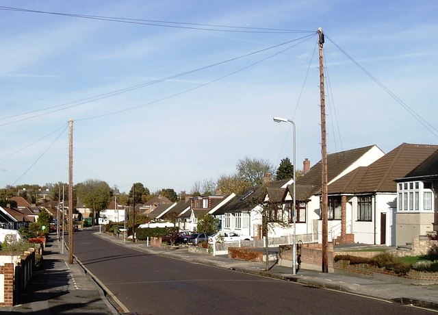
Image: © David Kemp Taken: 7 Nov 2008
The bridge in question is at the bottom of Bridge Avenue and carries the A124 over the Ingrebourne River and has given its name to the nearby Upminster Bridge station. Development such as this would have come in the wake of the electrification of the District Line as far as Upminster in 1932.
Images are licensed for reuse under creativecommons.org/licenses/by-sa/2.0
Image Location
Latitude
51.557062
Longitude
0.240251