Lochee High Street
Introduction
The photograph on this page of Lochee High Street by Val Vannet as part of the Geograph project.
The Geograph project started in 2005 with the aim of publishing, organising and preserving representative images for every square kilometre of Great Britain, Ireland and the Isle of Man.

There are currently over 7.5m images from over 14,400 individuals and you can help contribute to the project by visiting https://www.geograph.org.uk
Lochee High Street
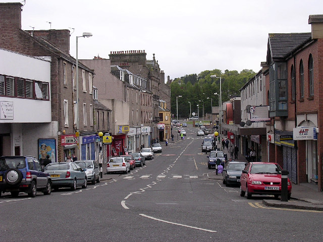
Image: © Val Vannet Taken: 16 May 2005
For many years a separate town, Lochee developed during the 18th Century in association with handloom weaving and in the 19th century as a centre of spinning, bleaching, dyeing and linen manufacture. By the late 19th century, many of the linen mills were producing jute.
Images are licensed for reuse under creativecommons.org/licenses/by-sa/2.0
Image Location
Latitude
56.471462
Longitude
-3.016097