Pont Dulais
Introduction
The photograph on this page of Pont Dulais by Alan Bowring as part of the Geograph project.
The Geograph project started in 2005 with the aim of publishing, organising and preserving representative images for every square kilometre of Great Britain, Ireland and the Isle of Man.

There are currently over 7.5m images from over 14,400 individuals and you can help contribute to the project by visiting https://www.geograph.org.uk
Pont Dulais
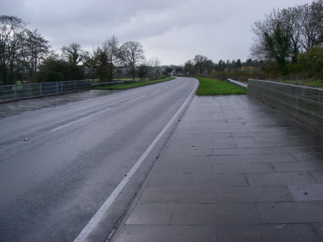
Image: © Alan Bowring Taken: 7 Nov 2008
The modern A40 bridges the Afon Dulais a few yards downstream of the earlier route.
Images are licensed for reuse under creativecommons.org/licenses/by-sa/2.0
Image Location
Latitude
51.901543
Longitude
-3.970016