No through road leading to the local authority built Penrhos Estate
Introduction
The photograph on this page of No through road leading to the local authority built Penrhos Estate by Eric Jones as part of the Geograph project.
The Geograph project started in 2005 with the aim of publishing, organising and preserving representative images for every square kilometre of Great Britain, Ireland and the Isle of Man.

There are currently over 7.5m images from over 14,400 individuals and you can help contribute to the project by visiting https://www.geograph.org.uk
No through road leading to the local authority built Penrhos Estate
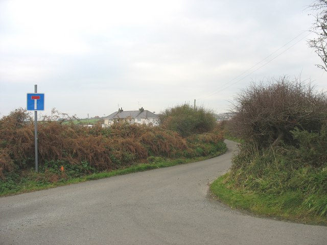
Image: © Eric Jones Taken: 4 Nov 2008
Penrhos is a terrace of four houses built to a plan replicated in most rural communities on Anglesey.
Images are licensed for reuse under creativecommons.org/licenses/by-sa/2.0
Image Location


Leaflet Map data © OpenStreetMap
Latitude
53.221598
Longitude
-4.477554