Brotherlee
Introduction
The photograph on this page of Brotherlee by Oliver Dixon as part of the Geograph project.
The Geograph project started in 2005 with the aim of publishing, organising and preserving representative images for every square kilometre of Great Britain, Ireland and the Isle of Man.

There are currently over 7.5m images from over 14,400 individuals and you can help contribute to the project by visiting https://www.geograph.org.uk
Brotherlee
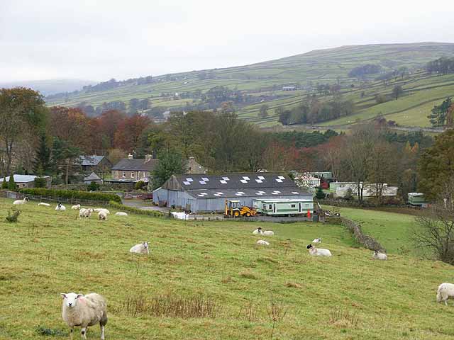
Image: © Oliver Dixon Taken: 5 Nov 2008
Hamlet on the south side of Weardale. To the right can be seen one of several caravan parks which are sited, rather surprisingly, along the length of Weardale.
Images are licensed for reuse under creativecommons.org/licenses/by-sa/2.0
Image Location
Latitude
54.734581
Longitude
-2.116598