The road to Hillhead farm
Introduction
The photograph on this page of The road to Hillhead farm by Elliott Simpson as part of the Geograph project.
The Geograph project started in 2005 with the aim of publishing, organising and preserving representative images for every square kilometre of Great Britain, Ireland and the Isle of Man.

There are currently over 7.5m images from over 14,400 individuals and you can help contribute to the project by visiting https://www.geograph.org.uk
The road to Hillhead farm
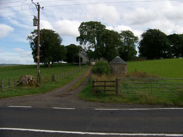
Image: © Elliott Simpson Taken: 4 Aug 2007
Although the map suggests that the Trumpeter's Well is in the next square to the west, the small building associated with the well is in this square.
Images are licensed for reuse under creativecommons.org/licenses/by-sa/2.0
Image Location
Latitude
55.649333
Longitude
-4.12971