Moor Lane allotments, Clevedon
Introduction
The photograph on this page of Moor Lane allotments, Clevedon by Jonathan Billinger as part of the Geograph project.
The Geograph project started in 2005 with the aim of publishing, organising and preserving representative images for every square kilometre of Great Britain, Ireland and the Isle of Man.

There are currently over 7.5m images from over 14,400 individuals and you can help contribute to the project by visiting https://www.geograph.org.uk
Moor Lane allotments, Clevedon
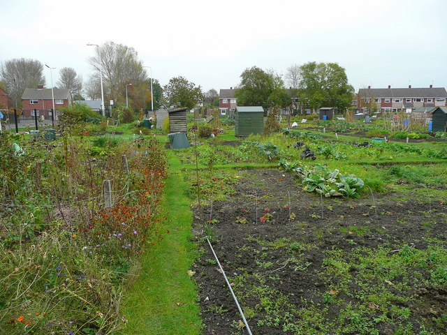
Image: © Jonathan Billinger Taken: 4 Nov 2008
Looking east, parallel to the B3133, the main route into town from the M5.
Images are licensed for reuse under creativecommons.org/licenses/by-sa/2.0
Image Location
Latitude
51.433399
Longitude
-2.847965