Development on Mill Road, Gillingham
Introduction
The photograph on this page of Development on Mill Road, Gillingham by David Anstiss as part of the Geograph project.
The Geograph project started in 2005 with the aim of publishing, organising and preserving representative images for every square kilometre of Great Britain, Ireland and the Isle of Man.

There are currently over 7.5m images from over 14,400 individuals and you can help contribute to the project by visiting https://www.geograph.org.uk
Development on Mill Road, Gillingham
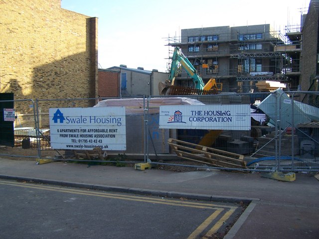
Image: © David Anstiss Taken: 29 Oct 2008
On empty site for many years, not square site so developers will have to be creative.
Images are licensed for reuse under creativecommons.org/licenses/by-sa/2.0
Image Location
Latitude
51.389463
Longitude
0.54268