Farmland at Overross
Introduction
The photograph on this page of Farmland at Overross by Jonathan Billinger as part of the Geograph project.
The Geograph project started in 2005 with the aim of publishing, organising and preserving representative images for every square kilometre of Great Britain, Ireland and the Isle of Man.

There are currently over 7.5m images from over 14,400 individuals and you can help contribute to the project by visiting https://www.geograph.org.uk
Farmland at Overross
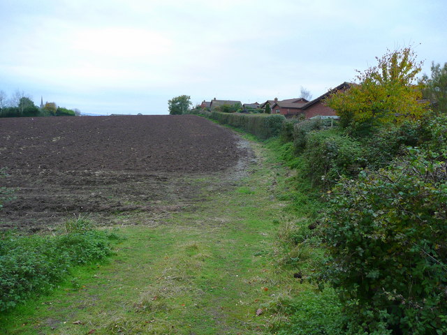
Image: © Jonathan Billinger Taken: 2 Nov 2008
The edge of suburban Ross-on-Wye looking west from the A40. The farm land will inevitably go for housing at some stage in the future. The spire of St. Mary's church is discernible in the distance.
Images are licensed for reuse under creativecommons.org/licenses/by-sa/2.0
Image Location
Latitude
51.920961
Longitude
-2.571979