Marshland near Nant-y-gwyrddail
Introduction
The photograph on this page of Marshland near Nant-y-gwyrddail by Nigel Brown as part of the Geograph project.
The Geograph project started in 2005 with the aim of publishing, organising and preserving representative images for every square kilometre of Great Britain, Ireland and the Isle of Man.

There are currently over 7.5m images from over 14,400 individuals and you can help contribute to the project by visiting https://www.geograph.org.uk
Marshland near Nant-y-gwyrddail
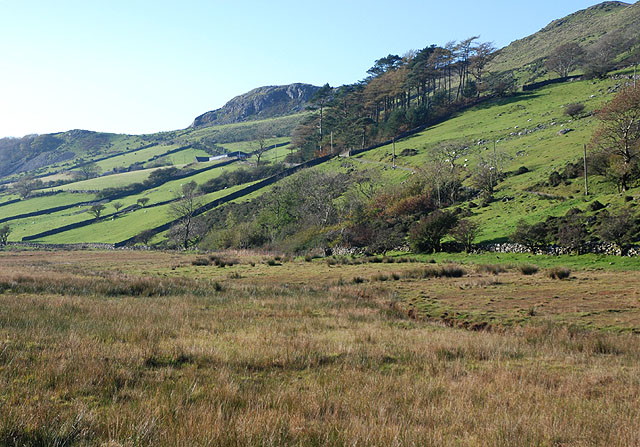
Image: © Nigel Brown Taken: 3 Nov 2008
In contrast to the hillside, the very flat floor of the valley is very marshy; it has the look of a silted up llyn.
Images are licensed for reuse under creativecommons.org/licenses/by-sa/2.0
Image Location
Latitude
52.710364
Longitude
-3.962742