Former Post Office, Troedrhiwfuwch
Introduction
The photograph on this page of Former Post Office, Troedrhiwfuwch by Robin Drayton as part of the Geograph project.
The Geograph project started in 2005 with the aim of publishing, organising and preserving representative images for every square kilometre of Great Britain, Ireland and the Isle of Man.

There are currently over 7.5m images from over 14,400 individuals and you can help contribute to the project by visiting https://www.geograph.org.uk
Former Post Office, Troedrhiwfuwch
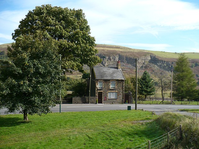
Image: © Robin Drayton Taken: 10 Oct 2008
This is one of the two remaining occupied houses in Troedrhiwfuwch. The rest of this small village was demolished in the 20th century due to landslips on the mountainside. The Victorian post box is still in use. http://www.geograph.org.uk/photo/1032661 A war memorial for the village is situated behind the tree on the left. http://www.geograph.org.uk/photo/1032649
Images are licensed for reuse under creativecommons.org/licenses/by-sa/2.0
Image Location


Leaflet Map data © OpenStreetMap
Latitude
51.732265
Longitude
-3.260305