Bridgemere Road, Eastbourne
Introduction
The photograph on this page of Bridgemere Road, Eastbourne by Kevin Gordon as part of the Geograph project.
The Geograph project started in 2005 with the aim of publishing, organising and preserving representative images for every square kilometre of Great Britain, Ireland and the Isle of Man.

There are currently over 7.5m images from over 14,400 individuals and you can help contribute to the project by visiting https://www.geograph.org.uk
Bridgemere Road, Eastbourne
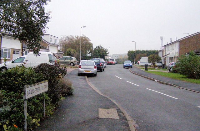
Image: © Kevin Gordon Taken: 3 Nov 2008
Bridgemere Road ends here on the Willingdon Levels. There is a small close - Collier Close on the left which was named after John Collier (born 1685) one time Mayor of Hastings. He also owned the Lamb Inn in Eastbourne.
Images are licensed for reuse under creativecommons.org/licenses/by-sa/2.0
Image Location
Latitude
50.786802
Longitude
0.294311