Crieff from Laggan Hill
Introduction
The photograph on this page of Crieff from Laggan Hill by ronnie leask as part of the Geograph project.
The Geograph project started in 2005 with the aim of publishing, organising and preserving representative images for every square kilometre of Great Britain, Ireland and the Isle of Man.

There are currently over 7.5m images from over 14,400 individuals and you can help contribute to the project by visiting https://www.geograph.org.uk
Crieff from Laggan Hill
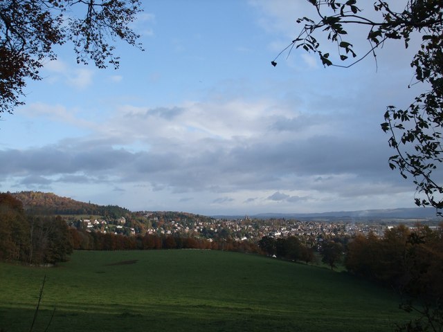
Image: © ronnie leask Taken: 31 Oct 2008
View is from the old Drove Road over Laggan Hill. This is the first view that Drovers would have had of their destination when taking cattle to the tryst at Crieff from the highlands and islands. From the late 17th until the coming of railways in the mid 19th century droving was the method whereby cattle were taken to the markets in the south of Scotland and England. Crieff and Falkirk were the main droving centres.
Images are licensed for reuse under creativecommons.org/licenses/by-sa/2.0
Image Location
Latitude
56.372087
Longitude
-3.842445