Ebbesbourne Wake: bus shelter
Introduction
The photograph on this page of Ebbesbourne Wake: bus shelter by Chris Downer as part of the Geograph project.
The Geograph project started in 2005 with the aim of publishing, organising and preserving representative images for every square kilometre of Great Britain, Ireland and the Isle of Man.

There are currently over 7.5m images from over 14,400 individuals and you can help contribute to the project by visiting https://www.geograph.org.uk
Ebbesbourne Wake: bus shelter
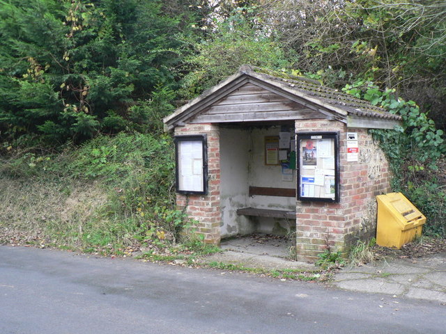
Image: © Chris Downer Taken: 1 Nov 2008
The number 29 passes through here. The timetable was currently in disarray owing to the closure of some local road, so the real timetable was not visible.
Images are licensed for reuse under creativecommons.org/licenses/by-sa/2.0
Image Location
Latitude
51.016007
Longitude
-2.012494