Raby Village
Introduction
The photograph on this page of Raby Village by David Quinn as part of the Geograph project.
The Geograph project started in 2005 with the aim of publishing, organising and preserving representative images for every square kilometre of Great Britain, Ireland and the Isle of Man.

There are currently over 7.5m images from over 14,400 individuals and you can help contribute to the project by visiting https://www.geograph.org.uk
Raby Village
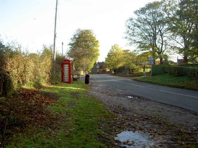
Image: © David Quinn Taken: 1 Nov 2008
A rural settlement in a predominantly urban area. Raby is protected by an Area of Special Landscape Value, which aims to maintain the character and appearance of the area.
Images are licensed for reuse under creativecommons.org/licenses/by-sa/2.0
Image Location


Leaflet Map data © OpenStreetMap
Latitude
53.31098
Longitude
-3.03736