Holiday Accommodation Units at Llys Llywelyn
Introduction
The photograph on this page of Holiday Accommodation Units at Llys Llywelyn by Eric Jones as part of the Geograph project.
The Geograph project started in 2005 with the aim of publishing, organising and preserving representative images for every square kilometre of Great Britain, Ireland and the Isle of Man.

There are currently over 7.5m images from over 14,400 individuals and you can help contribute to the project by visiting https://www.geograph.org.uk
Holiday Accommodation Units at Llys Llywelyn
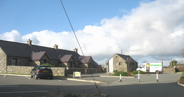
Image: © Eric Jones Taken: 31 Oct 2008
Llys Llywelyn is built on the site of a medieval Welsh royal palace. http://www.llys-llewelyn.com/
Images are licensed for reuse under creativecommons.org/licenses/by-sa/2.0
Image Location
Latitude
53.193357
Longitude
-4.464995