Barns and church at Throckmorton
Introduction
The photograph on this page of Barns and church at Throckmorton by Jonathan Billinger as part of the Geograph project.
The Geograph project started in 2005 with the aim of publishing, organising and preserving representative images for every square kilometre of Great Britain, Ireland and the Isle of Man.

There are currently over 7.5m images from over 14,400 individuals and you can help contribute to the project by visiting https://www.geograph.org.uk
Barns and church at Throckmorton
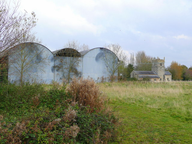
Image: © Jonathan Billinger Taken: 30 Oct 2008
The farm buildings seem to belong to Lower Farm and have patterns on the end walls made by swaying trees in the fading paint. Throckmorton church can be seen further in the distance.
Images are licensed for reuse under creativecommons.org/licenses/by-sa/2.0
Image Location
Latitude
52.146485
Longitude
-2.028598