Grove Park
Introduction
The photograph on this page of Grove Park by Derek Harper as part of the Geograph project.
The Geograph project started in 2005 with the aim of publishing, organising and preserving representative images for every square kilometre of Great Britain, Ireland and the Isle of Man.

There are currently over 7.5m images from over 14,400 individuals and you can help contribute to the project by visiting https://www.geograph.org.uk
Grove Park
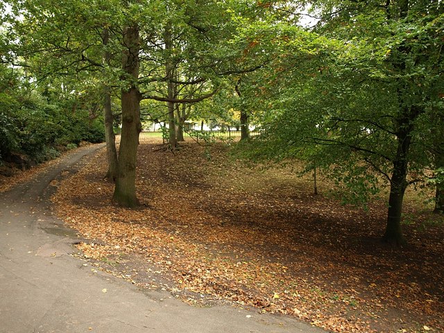
Image: © Derek Harper Taken: 23 Oct 2008
A path climbs past trees to the top end of the park, where it meets Upper Church Road.
Images are licensed for reuse under creativecommons.org/licenses/by-sa/2.0
Image Location
Latitude
51.353512
Longitude
-2.979755