Ilminster Road, Blackbrook Park
Introduction
The photograph on this page of Ilminster Road, Blackbrook Park by Derek Harper as part of the Geograph project.
The Geograph project started in 2005 with the aim of publishing, organising and preserving representative images for every square kilometre of Great Britain, Ireland and the Isle of Man.

There are currently over 7.5m images from over 14,400 individuals and you can help contribute to the project by visiting https://www.geograph.org.uk
Ilminster Road, Blackbrook Park
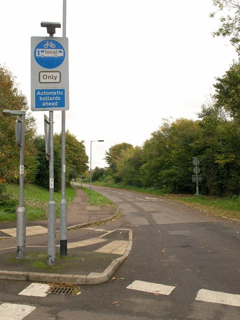
Image: © Derek Harper Taken: 23 Oct 2008
This short stretch of the old Ilminster Road out of Taunton is not open to through traffic, which means that motorists who wish to get from Blackbrook Way to the M5 junction or vice versa face a trip of 2 kilometres instead of 300 metres. I wonder how much extra petrol is consumed each day? Ironically, the longer route goes past far more residential housing than the shorter.
Images are licensed for reuse under creativecommons.org/licenses/by-sa/2.0
Image Location
Latitude
51.017684
Longitude
-3.068463