The approach to Sudbury on the A131 at Ballingdon
Introduction
The photograph on this page of The approach to Sudbury on the A131 at Ballingdon by Robert Edwards as part of the Geograph project.
The Geograph project started in 2005 with the aim of publishing, organising and preserving representative images for every square kilometre of Great Britain, Ireland and the Isle of Man.

There are currently over 7.5m images from over 14,400 individuals and you can help contribute to the project by visiting https://www.geograph.org.uk
The approach to Sudbury on the A131 at Ballingdon
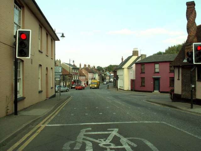
Image: © Robert Edwards Taken: 26 Sep 2008
This is viewed from Ballingdon Hill, which becomes Ballingdon Street on the other side of the crossroads. Middleton Road is off to the right and Brundon Lane is off to the left.
Images are licensed for reuse under creativecommons.org/licenses/by-sa/2.0
Image Location
Latitude
52.03329
Longitude
0.71568