Marylebone Road, NW1
Introduction
The photograph on this page of Marylebone Road, NW1 by Phillip Perry as part of the Geograph project.
The Geograph project started in 2005 with the aim of publishing, organising and preserving representative images for every square kilometre of Great Britain, Ireland and the Isle of Man.

There are currently over 7.5m images from over 14,400 individuals and you can help contribute to the project by visiting https://www.geograph.org.uk
Marylebone Road, NW1
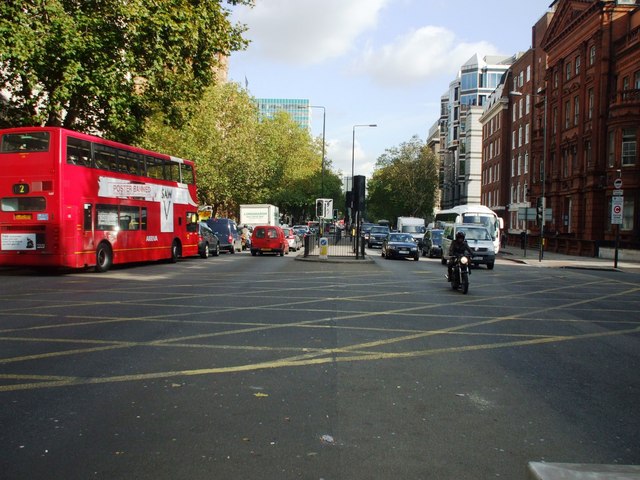
Image: © Phillip Perry Taken: 28 Oct 2008
Marylebone Road (A501), junction with Lisson Grove and Seymour Place, part of the Inner London Ring Road that includes Park Lane, Tower Bridge, Vauxhall Bridge.
Images are licensed for reuse under creativecommons.org/licenses/by-sa/2.0
Image Location
Latitude
51.521179
Longitude
-0.163253