The Old Rectifying House, Worcester
Introduction
The photograph on this page of The Old Rectifying House, Worcester by Philip Halling as part of the Geograph project.
The Geograph project started in 2005 with the aim of publishing, organising and preserving representative images for every square kilometre of Great Britain, Ireland and the Isle of Man.

There are currently over 7.5m images from over 14,400 individuals and you can help contribute to the project by visiting https://www.geograph.org.uk
The Old Rectifying House, Worcester
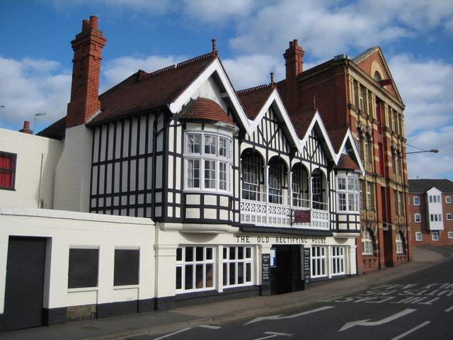
Image: © Philip Halling Taken: 22 Oct 2008
Pub on North Parade overlooking the River Severn in Worcester. John Gwynne House a former warehouse is next door.
Images are licensed for reuse under creativecommons.org/licenses/by-sa/2.0
Image Location
Latitude
52.191674
Longitude
-2.225675