Drive at Broadlie House
Introduction
The photograph on this page of Drive at Broadlie House by wfmillar as part of the Geograph project.
The Geograph project started in 2005 with the aim of publishing, organising and preserving representative images for every square kilometre of Great Britain, Ireland and the Isle of Man.

There are currently over 7.5m images from over 14,400 individuals and you can help contribute to the project by visiting https://www.geograph.org.uk
Drive at Broadlie House
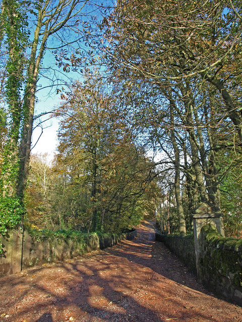
Image: © wfmillar Taken: 27 Oct 2008
This drive is walled either side and crosses Baidland Burn about 20 Mtrs.from the photographers spot.
Images are licensed for reuse under creativecommons.org/licenses/by-sa/2.0
Image Location
Latitude
55.711475
Longitude
-4.739498