Halleaths
Introduction
The photograph on this page of Halleaths by Lynne Kirton as part of the Geograph project.
The Geograph project started in 2005 with the aim of publishing, organising and preserving representative images for every square kilometre of Great Britain, Ireland and the Isle of Man.

There are currently over 7.5m images from over 14,400 individuals and you can help contribute to the project by visiting https://www.geograph.org.uk
Halleaths
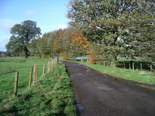
Image: © Lynne Kirton Taken: 26 Oct 2008
The track serves the tiny hamlet of Halleaths, near Lochmaben. The River Annan is close by, off to the right of the picture. The water in the fields in the middle distance is floodwater, the river having burst its banks after a prolonged spell of torrential rain and gale force winds.
Images are licensed for reuse under creativecommons.org/licenses/by-sa/2.0
Image Location
Latitude
55.127105
Longitude
-3.415933