
Cyfarthfa Retail Park
Introduction
The photograph on this page of Cyfarthfa Retail Park by John Wilson as part of the Geograph project.
The Geograph project started in 2005 with the aim of publishing, organising and preserving representative images for every square kilometre of Great Britain, Ireland and the Isle of Man.

There are currently over 7.5m images from over 14,400 individuals and you can help contribute to the project by visiting https://www.geograph.org.uk
Cyfarthfa Retail Park
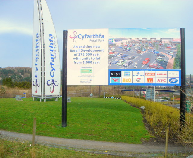
Image: © John Wilson Taken: 11 Mar 2007
Cyfarthfa Retail Park was opened in May 2005 - newsworthy as a part of regeneration of the Heads of the Valleys area [ see http://www.walesonline.co.uk/business-in-wales/business-news/tm_objectid=15502313&method=full&siteid=50082&headline=retail-park-is-opened-in-boost-for-merthyr-name_page.html ]. This sign is facing the main A470 road. We are looking north east. Cyfarthfa Castle is just about visible in the distance on the left. Out of sight in the valley floor is the site of the Cyfarthfa Iron Works, of which the Cyfarthfa iron works furnace bank is the largest remaining landmark.
Images are licensed for reuse under creativecommons.org/licenses/by-sa/2.0
Image Location

Latitude
51.749976
Longitude
-3.395811