A modern stile at Lockleaze playing fields
Introduction
The photograph on this page of A modern stile at Lockleaze playing fields by Dr Duncan Pepper as part of the Geograph project.
The Geograph project started in 2005 with the aim of publishing, organising and preserving representative images for every square kilometre of Great Britain, Ireland and the Isle of Man.

There are currently over 7.5m images from over 14,400 individuals and you can help contribute to the project by visiting https://www.geograph.org.uk
A modern stile at Lockleaze playing fields
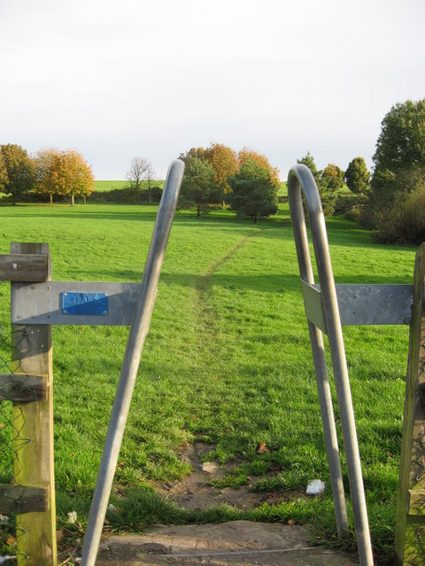
Image: © Dr Duncan Pepper Taken: 26 Oct 2008
Originally designed to allow the passage of humans whilst holding back cattle, this simple but elegant design now discourages motorcyclists from using the playing fields.
Images are licensed for reuse under creativecommons.org/licenses/by-sa/2.0
Image Location
Latitude
51.488079
Longitude
-2.562223