Kingswood Kennels, Pigeonhouse Lane
Introduction
The photograph on this page of Kingswood Kennels, Pigeonhouse Lane by Hugh Craddock as part of the Geograph project.
The Geograph project started in 2005 with the aim of publishing, organising and preserving representative images for every square kilometre of Great Britain, Ireland and the Isle of Man.

There are currently over 7.5m images from over 14,400 individuals and you can help contribute to the project by visiting https://www.geograph.org.uk
Kingswood Kennels, Pigeonhouse Lane
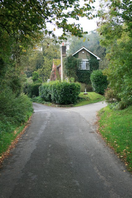
Image: © Hugh Craddock Taken: 19 Oct 2008
Two footpaths, Banstead 135 and 136, leave the lane just next to the drive on the right, and another (well hidden), 132, to the left, just behind the photographer.
Images are licensed for reuse under creativecommons.org/licenses/by-sa/2.0
Image Location
Latitude
51.281607
Longitude
-0.19161