View uphill towards the crossroads at Upper Gwalchmai
Introduction
The photograph on this page of View uphill towards the crossroads at Upper Gwalchmai by Eric Jones as part of the Geograph project.
The Geograph project started in 2005 with the aim of publishing, organising and preserving representative images for every square kilometre of Great Britain, Ireland and the Isle of Man.

There are currently over 7.5m images from over 14,400 individuals and you can help contribute to the project by visiting https://www.geograph.org.uk
View uphill towards the crossroads at Upper Gwalchmai
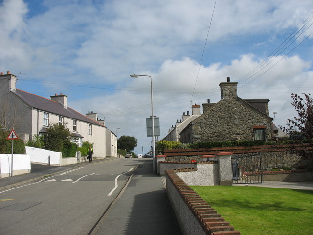
Image: © Eric Jones Taken: 20 Sep 2008
The stone built cottage on the right- Yr Hen Ysgol - is the former village school.
Images are licensed for reuse under creativecommons.org/licenses/by-sa/2.0
Image Location
Latitude
53.25385
Longitude
-4.413152