Eastgate, Honley
Introduction
The photograph on this page of Eastgate, Honley by Rob Taylor as part of the Geograph project.
The Geograph project started in 2005 with the aim of publishing, organising and preserving representative images for every square kilometre of Great Britain, Ireland and the Isle of Man.

There are currently over 7.5m images from over 14,400 individuals and you can help contribute to the project by visiting https://www.geograph.org.uk
Eastgate, Honley
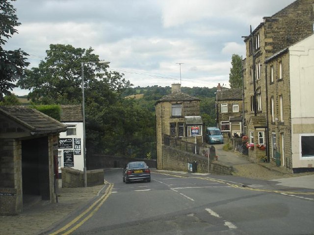
Image: © Rob Taylor Taken: 10 Aug 2005
My mate Jed lived at the bottom of the hill.
Images are licensed for reuse under creativecommons.org/licenses/by-sa/2.0
Image Location


Leaflet Map data © OpenStreetMap
Latitude
53.60438
Longitude
-1.791413