Barn being Converted, West Bradford.
Introduction
The photograph on this page of Barn being Converted, West Bradford. by Mike and Kirsty Grundy as part of the Geograph project.
The Geograph project started in 2005 with the aim of publishing, organising and preserving representative images for every square kilometre of Great Britain, Ireland and the Isle of Man.

There are currently over 7.5m images from over 14,400 individuals and you can help contribute to the project by visiting https://www.geograph.org.uk
Barn being Converted, West Bradford.
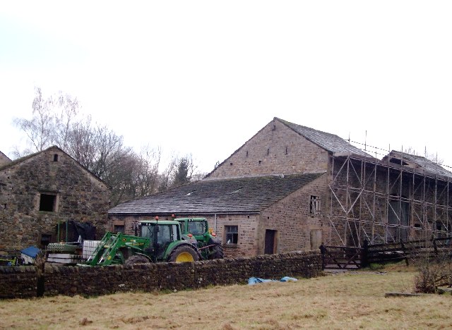
Image: © Mike and Kirsty Grundy Taken: 4 Jan 2006
Not many working barns left in the Ribble Valley. It's all wrapped in black plastic now.
Images are licensed for reuse under creativecommons.org/licenses/by-sa/2.0
Image Location


Leaflet Map data © OpenStreetMap
Latitude
53.896035
Longitude
-2.391049