Field boundary near Foy
Introduction
The photograph on this page of Field boundary near Foy by Jonathan Billinger as part of the Geograph project.
The Geograph project started in 2005 with the aim of publishing, organising and preserving representative images for every square kilometre of Great Britain, Ireland and the Isle of Man.

There are currently over 7.5m images from over 14,400 individuals and you can help contribute to the project by visiting https://www.geograph.org.uk
Field boundary near Foy
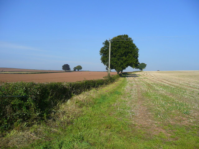
Image: © Jonathan Billinger Taken: 26 Sep 2008
One field is sown for 2009 season, and the stubble field awaits similar treatment.
Images are licensed for reuse under creativecommons.org/licenses/by-sa/2.0
Image Location
Latitude
51.957387
Longitude
-2.587577