The Ridgeway
Introduction
The photograph on this page of The Ridgeway by Martin Addison as part of the Geograph project.
The Geograph project started in 2005 with the aim of publishing, organising and preserving representative images for every square kilometre of Great Britain, Ireland and the Isle of Man.

There are currently over 7.5m images from over 14,400 individuals and you can help contribute to the project by visiting https://www.geograph.org.uk
The Ridgeway
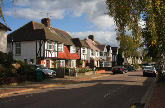
Image: © Martin Addison Taken: 16 Oct 2008
Semi-detached houses on this road that backs onto Victoria Park and the bowling greens.
Images are licensed for reuse under creativecommons.org/licenses/by-sa/2.0
Image Location
Latitude
51.605157
Longitude
-0.185716