Bowker Vale - station building
Introduction
The photograph on this page of Bowker Vale - station building by Peter Whatley as part of the Geograph project.
The Geograph project started in 2005 with the aim of publishing, organising and preserving representative images for every square kilometre of Great Britain, Ireland and the Isle of Man.

There are currently over 7.5m images from over 14,400 individuals and you can help contribute to the project by visiting https://www.geograph.org.uk
Bowker Vale - station building
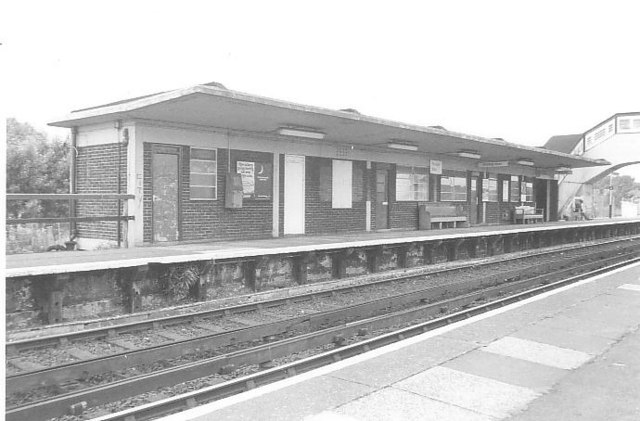
Image: © Peter Whatley Taken: Unknown
Built in the 1930s to a common pattern used by the London, Midland & Scottish Railway, this is the building on the Bury side of Bowker Vale.
Images are licensed for reuse under creativecommons.org/licenses/by-sa/2.0
Image Location
Latitude
53.524663
Longitude
-2.250052