Whitham Road, Broomhill
Introduction
The photograph on this page of Whitham Road, Broomhill by Dave Hitchborne as part of the Geograph project.
The Geograph project started in 2005 with the aim of publishing, organising and preserving representative images for every square kilometre of Great Britain, Ireland and the Isle of Man.

There are currently over 7.5m images from over 14,400 individuals and you can help contribute to the project by visiting https://www.geograph.org.uk
Whitham Road, Broomhill
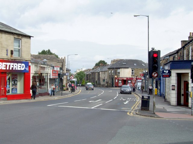
Image: © Dave Hitchborne Taken: 6 Aug 2008
At its junction with Crookes Road, Nile Street and Fulwood Road. The Hallamshire Hospital is just showing above the trees.
Images are licensed for reuse under creativecommons.org/licenses/by-sa/2.0
Image Location
Latitude
53.377674
Longitude
-1.500344